
The American Southwest Road Trip: A Region-Wide Planning Reference
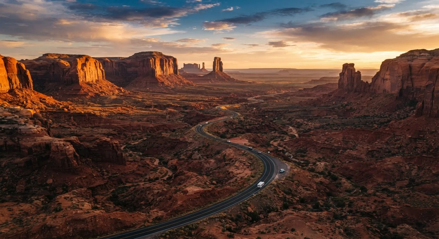
Photo credit: ResultsRover.com | Insights You Can Trust
In this article
Key distances, park entry facts, seasonal road conditions, and permit requirements across Utah, Arizona, Nevada, and New Mexico — all in one place.
Key Takeaways
- The America the Beautiful annual pass covers entry to most Southwest national parks and pays for itself in roughly two stops.
- Several high-demand areas — including The Wave and Coyote Buttes — require advance lottery permits months before your trip.
- Summer heat in Arizona and Nevada regularly exceeds 110°F; spring and fall are the most practical windows for most itineraries.
- Remote stretches between parks can span 100+ miles with no gas or cell service — plan fuel and water accordingly.
- Road closures from snow are possible at high-elevation parks like Bryce Canyon from November through April.
How to Use This Reference
Planning a Southwest road trip involves juggling four states, dozens of federal land units, and logistics that change significantly by season. This guide consolidates the facts you need most — distances, park fees, permit lotteries, and road conditions — so you can make decisions without hunting across a dozen agency websites.
Use it alongside a broader planning framework. If you're starting from zero, the beginner trip planning guide covers every decision from picking a destination to packing. For a more structured end-to-end approach, see the complete trip planning guide.
Key Distances and Drive Times
Southwest distances are deceptive on a map. Elevation changes, speed limits on two-lane highways, and construction delays add significant time. Use these figures as planning baselines, not guarantees.
| Route | Distance | Estimated Drive Time |
|---|---|---|
| Las Vegas, NV → Zion NP, UT | ~160 miles | 2.5–3 hrs |
| Zion NP → Bryce Canyon NP, UT | ~85 miles | 1.5–2 hrs |
| Bryce Canyon → Arches NP, UT | ~230 miles | 3.5–4 hrs |
| Arches NP → Grand Canyon South Rim, AZ | ~360 miles | 5–5.5 hrs |
| Grand Canyon South Rim → Sedona, AZ | ~115 miles | 2–2.5 hrs |
| Sedona → Santa Fe, NM | ~390 miles | 5.5–6 hrs |
Always verify current conditions through state DOT sites or the National Park Service before departure, as road segments in canyon country can close with little notice.
$80
America the Beautiful Annual Pass cost
One pass covers entrance fees at all NPS sites; a four-park Southwest itinerary typically exceeds this in individual fees.
64
Daily visitors permitted at The Wave
The BLM limits The Wave (Coyote Buttes North) to 64 visitors per day via a competitive lottery system.
110°F+
Peak summer temperatures in canyon floors
Phoenix, Las Vegas, and low-elevation canyon areas routinely exceed 110°F during June through August.
National Park Entry: Fees and Passes
Most Southwest national parks charge a per-vehicle entrance fee ranging from $15 to $35, valid for 7 consecutive days. The America the Beautiful Annual Pass (currently $80 per year) covers entrance fees at all National Park Service and many other federal lands sites. For a Southwest itinerary hitting four or more parks, the pass typically pays for itself quickly.
- Zion National Park: $35 per vehicle (7 days)
- Bryce Canyon National Park: $35 per vehicle (7 days)
- Arches National Park: $30 per vehicle (7 days)
- Grand Canyon National Park: $35 per vehicle (7 days)
- Canyonlands National Park: $30 per vehicle (7 days)
- Saguaro National Park (AZ): $25 per vehicle (7 days)
- White Sands National Park (NM): $25 per vehicle (7 days)
Havasupai Requires Tribal Reservation — Not NPS
Havasupai Falls is managed by the Havasupai Tribe and operates entirely outside the National Park Service system. The America the Beautiful Pass does not apply. Reservations open on a specific annual date and routinely sell out within minutes. Check directly with the Havasupai Tribe for current booking procedures and dates well before your trip.
Verify current fee amounts directly with the National Park Service at nps.gov before your trip, as fees are subject to periodic adjustment. The America the Beautiful Pass is available at any park entrance station or online through the USGS.
Permit Requirements by Park
Several of the most iconic Southwest destinations require advance permits that are separate from — and in addition to — standard park entry fees. Missing this step is the most common planning failure on Southwest itineraries.
Enter permit lotteries for high-demand sites like Angels Landing and The Wave the moment registration opens — not when your dates are confirmed. Treat the lottery result as your trip anchor, then build the itinerary around it.
Demand for Southwest permit lotteries has grown sharply in recent years; waiting until your trip is otherwise finalized often means missing the lottery window entirely.
Book the first and last nights of your trip in gateway towns with reliable amenities (Springdale, Moab, Flagstaff, St. George) and keep mid-trip accommodation flexible where possible.
Park campgrounds fill months in advance during peak season, but gateway towns offer bail-out options if your schedule shifts due to weather or road closures.
- The Wave / Coyote Buttes North (AZ/UT border)
- Managed by the BLM. Online lottery opens months in advance; walk-up lottery held daily on-site. Total permitted visitors per day: 64. Competition is extremely high for online slots.
- Zion Narrows (Bottom-Up Route)
- No permit required for the bottom-up day hike from the Temple of Sinawava. Permits required only for the top-down overnight route through Zion Slot Canyon.
- Angels Landing (Zion NP)
- A seasonal permit system (lottery) is in effect. Check the NPS reservation system for current lottery windows, which typically open months ahead.
- Havasupai Falls (AZ)
- Managed by the Havasupai Tribe, not the NPS. Reservations open on a specific date each year and sell out within hours. Verify directly with the tribe for current booking procedures.
- Coyote Gulch / Escalante (UT)
- No permit currently required for day use, but check Grand Staircase-Escalante National Monument regulations, as permit systems in BLM areas can change.
For a fuller pre-trip checklist that includes permit research, see the pre-trip planning checklist.
Seasonal Road Conditions and Timing
The Southwest does not have a single best season — it depends heavily on which states and elevations your route covers.
Flash Flood Risk Is Serious in Slot Canyons
Slot canyons like Antelope Canyon and The Narrows can flood rapidly from storms miles away with no visible warning at the canyon floor. Always check weather forecasts for the entire upstream watershed, not just your immediate location. Heed all ranger warnings and posted closures — do not enter a closed slot canyon regardless of current local conditions.
Spring (March–May)
Generally the most reliable window across all four states. Wildflower blooms are possible in the Sonoran Desert (AZ) through April. Snow can still close higher-elevation roads at Bryce Canyon (8,000+ ft) into early May.
Summer (June–August)
Heat is the dominant factor. Phoenix, Las Vegas, and canyon floors regularly hit 110°F+. Flash flood risk is elevated across Utah and Arizona during monsoon season (July–September). Higher elevations like the Grand Canyon's North Rim are more tolerable but busy.
Fall (September–November)
Arguably the best conditions for canyon country and the Colorado Plateau. Monsoon season tapers off by late September. Temperatures drop to comfortable ranges across most elevations through October.
Winter (December–February)
Crowds are minimal and fees don't change, but high-elevation parks carry real closure risk. SR-67 to the Grand Canyon North Rim closes typically by mid-November and reopens in May. Bryce Canyon roads may require chains. Desert parks like Joshua Tree, Saguaro, and White Sands are comfortable and often undervisited in winter.
Practical Logistics: Fuel, Cell Service, and Water
The gaps between Southwest destinations are where unprepared travelers get into trouble. These are not exaggerated concerns — they are the reason search-and-rescue operations happen every year in this region.
Fuel
On routes like US-89 between Page, AZ and Kanab, UT, or US-160 across the Navajo Nation, gas stations can be 60–90 miles apart. Fill your tank whenever you drop below half on remote stretches, regardless of how far the map says the next town is.
Cell Service
Assume no reliable cell coverage inside national parks and on most two-lane highways between them. Download offline maps (Google Maps and Maps.me both support this) and save PDF versions of permit confirmations before you leave any town with Wi-Fi.
Water
Carry more than you think you need. A standard recommendation from park rangers is one liter per person per hour of strenuous hiking in summer heat. Many trailheads do not have potable water. Verify water availability at specific trailheads on nps.gov before setting out.
For a broader look at how these logistics fit into the full planning process, see the anatomy of a well-planned trip. If budget management across the full trip is a priority, the affordable trips planning guide covers how to manage costs from destination selection through on-the-ground spending.
This article provides general travel information for planning purposes. Road conditions, park fees, permit systems, and entry requirements can change. Always verify current details directly with the National Park Service (nps.gov), Bureau of Land Management (blm.gov), relevant tribal authorities, and state DOT websites before traveling.

Author
Travel Smart Editorial Team
Travel Smart Editorial Team is the collective byline for our editorial team and contributor network. Articles published under this byline or an editorial pen name are researched, written, and reviewed according to our editorial standards for clarity, consistency, and independence before publication.
View all articles →